Waterside Valley


Facilities & Features
On Bus Route
On Cycle Route
Parking
Disabled Parking
Café
Swallow Community Café
Viewpoint
Footpaths
Historic Interest
Dogs Allowed
River

History & Habitat
Purchased in July 2021 by Westfield Parish Council with the overall vision to enhance the land as public open space, retaining the wildlife value and natural aspect of the site. It is a space where people of Westfield and surrounding areas can enjoy the nature, the views, and the sense of history and of peace which permeates this ground.
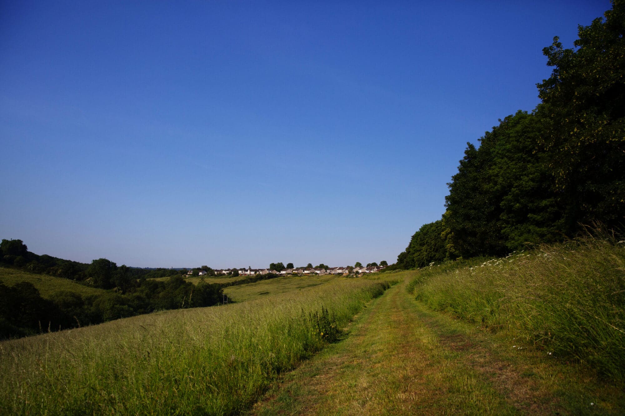
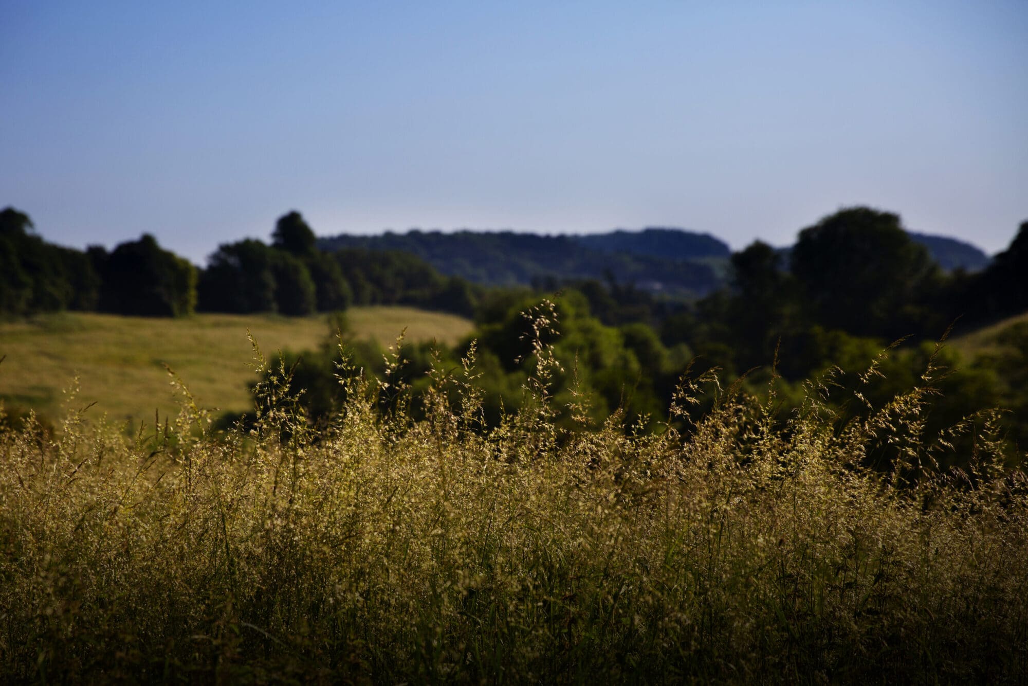
Waterside Valley is a 13-hectare site adjacent to Radstock Town Centre and Westfield and connected by footpaths to Haydon.
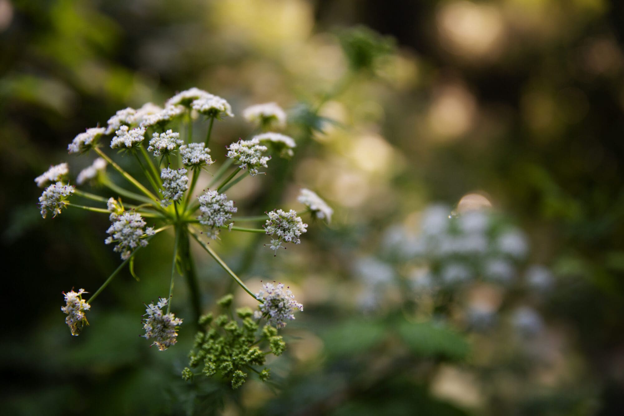
The site comprises of grassland, hedgerow, and the Snails Brook, which is a tributary of the Wellow Brook.
The site forms part of a wider area recognised for its wildlife potential back in 1999 when identified for ‘Environmental Enhancements’ by Avon Wildlife Trust. There are currently formal public rights of way through the site along with other informal paths.
The land lies close to Kilmersdon Mine and part of the Snails Brook further up the valley has been culverted to accommodate the spoil heap (Batch) from the pit. There are also three second world war pillboxes on the boundary of the site and these, along with others in the area, formed part of an inland defence system called a Stop Line.
Future Plans
A masterplan was created for the site in 2022 working with local people and landscape architects.
This project proposes to:
- Improve entrances onto the site
- Improve access paths within the site with some new accessible paths
- Hedge-laying
- Small areas of tree planting
- Grassland Management to increase wildflower meadows and condition of the grass
- Interpretation boards
- Engage with the local community in habitat management and wildlife monitoring through training and volunteer days
Site Designations

Site of Nature Conservation Interest (SNCI)
Location
- Westfield: entrance between Chestnut Close and Cherry Tree Close on the west boundary from Waterford Park Road
- Church Street: Between the St Nicholas’s Church and Swallows Café, in Radstock
- The Dring: Public Footpath from Wells Road, adjacent to the Police Station
Parking at Church Street Car Park. Free to park in this car park for up to 5 hours, but you must display a ticket from the machine Monday to Saturday, 8am to 6pm.
Bus Stop May Tree Road. Buses 82, 414, WESTLinkSouth
Bus Stop Redwood Close. Buses 82, 414, WESTLinkSouth
Bus Stop Victoria Hall (Stop A). Buses 82, 172, 173, 174, 414, 424, 522, 768, WESTLinkSouth
No bus service on Sundays.
Audio Trail
Purchased in July 2021 by Westfield Parish Council with the overall vision to enhance the land as a public open space, retaining the wildlife value and natural aspect of the site. It is a space where people of Westfield and surrounding areas can enjoy the nature, the views, and the sense of history and peace which permeates this ground.
In this audio trail, not only will we learn more about this historic location and the amazing wildlife that features, we’ll also learn about a diving board.

Partners & Funders


Our Next Events

Nature Craft Connection 6 Week Course
A free 6-week course for adults of all ages to explore, reignite, and deepen connections to the living world and our relationship with it, and benefit from the support, health, and wellbeing found...
Nature Craft Connection 6 Week Course
A free 6-week course for adults of all ages to explore, reignite, and deepen connections to the living world and our relationship with it, and benefit from the support, health, and wellbeing found...